Leh–Ladakh Motorcycle Trip: Complete Route, Stops & Planning Guide
TL;DR — The Leh–Ladakh ride is India's most iconic motorcycle journey: high mountain passes, moonscape valleys, and roads that climb above 5,000 m. This guide covers both approach routes (via Manali and via Srinagar), a day-by-day itinerary, fuel stops, permits, the best time to go, and how to keep navigating when there's no mobile signal for days.
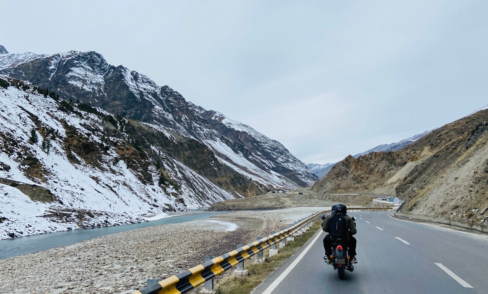
The Two Ways to Reach Leh
Almost every Ladakh motorcycle trip uses one of two legendary highways. Most experienced riders go up one and come down the other, making a loop.
1. The Manali–Leh Highway (~490 km)
The classic adventure route. It crosses four major passes — Rohtang La, Baralacha La, Nakee La/Lachulung La, and Tanglang La — and includes the famous Gata Loops and the high Morey Plains. It's tougher and more remote, with long stretches of no fuel and no signal, which is exactly why riders love it.
2. The Srinagar–Leh Highway (~420 km)
Gentler, greener at the start, and better for acclimatisation because you gain altitude more gradually via Sonamarg, Zoji La, Drass, and Kargil. Many riders ride up from Srinagar (to acclimatise safely) and down to Manali.
Recommended loop: Srinagar → Kargil → Leh (acclimatise) → local rides (Nubra, Pangong) → Leh → Manali. This gives you the safest altitude curve and both landscapes in one trip.
Suggested 10-Day Itinerary
| Day | Route | Approx. distance |
|---|---|---|
| 1 | Srinagar → Kargil | 200 km |
| 2 | Kargil → Leh | 220 km |
| 3 | Leh (rest & acclimatise) | Local |
| 4 | Leh → Nubra Valley (Khardung La) | 120 km |
| 5 | Nubra → Pangong Lake | 160 km |
| 6 | Pangong → Leh | 220 km |
| 7 | Leh → Sarchu | 250 km |
| 8 | Sarchu → Jispa/Keylong | 90 km |
| 9 | Keylong → Manali | 115 km |
| 10 | Buffer / return | — |
Always keep a buffer day. Landslides, weather, and altitude sickness can cost you a day, and a rigid schedule is how riders get into trouble in the mountains.
Fuel Stops You Must Plan Around
This is where Ladakh catches riders out. On the Manali–Leh side, the stretch from Tandi to Leh is roughly 365 km with no reliable petrol pump — the longest fuel gap on the route. Plan accordingly:
- Tandi — last pump before the long gap; fill up completely.
- Carry 5–10 litres spare fuel in a proper canister for the Tandi–Leh and Pangong legs.
- On the Srinagar side, Kargil and Leh have dependable pumps.
- Nubra (Diskit) and a few points now have fuel, but never rely on them being open — treat spare fuel as mandatory.
Permits
Indian nationals need an Inner Line Permit for Nubra Valley, Pangong Lake, and some border areas; foreign nationals need a Protected Area Permit. These are easy to arrange online or in Leh, but carry multiple photocopies — you'll surrender one at each checkpoint.
Best Time to Ride
The riding season runs roughly mid-June to mid-September. The passes are only reliably open in these months. July–August is warmest but also peak tourist season and monsoon-affected on the approach roads; early June and September are quieter but colder, with a real risk of early snow on the high passes.
Acclimatisation & Safety
Altitude sickness is the single biggest risk on this trip, not the roads. Leh sits at ~3,500 m and Khardung La tops 5,300 m.
- Spend at least 2 nights in Leh before attempting Khardung La or Pangong.
- Ascend gradually — the Srinagar approach is genuinely safer for this.
- Hydrate constantly; avoid alcohol for the first days.
- Know the symptoms of AMS and be willing to descend. No summit is worth it.
Why Offline Navigation Matters Here
For days at a time on this route, you will have no mobile signal. Standard map apps that stream tiles over data simply stop working past Manali or Kargil. This is exactly the scenario TripQube is built for.
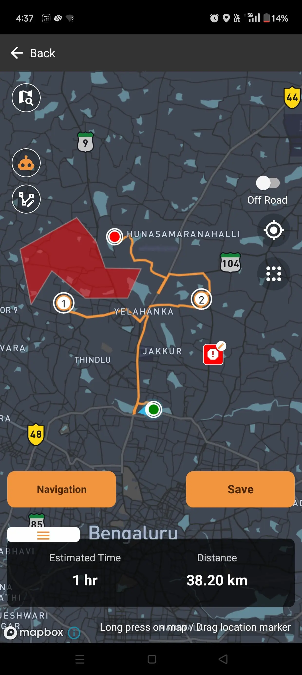
With TripQube you can plan the entire Srinagar–Leh–Manali loop in advance on the web, drop waypoints for every fuel stop and overnight halt, then download the maps and route for offline use. Turn-by-turn navigation keeps working through Zoji La and the Morey Plains with zero signal. If you're riding as a group, live tracking lets everyone see each other on one map — so nobody gets stranded alone at 5,000 m when the group spreads out on the climbs.
Packing Essentials
- Layered riding gear with thermals — temperatures swing from hot valleys to sub-zero passes in one day.
- Waterproofs and quality gloves.
- Basic tool kit, spare clutch/brake levers, puncture kit, and a tube.
- Spare fuel canister.
- Power bank + charging cable (you may not see a socket for a while).
- Documents, permit photocopies, and cash — ATMs are scarce beyond Leh.
Ready to Plan Your Ladakh Ride?
Map your full route, mark every fuel stop, and download it for offline navigation before you leave signal behind. Plan the trip on the web, then carry it in your pocket.